

5 Ways Better Snow Measurements Support Safer Winter Roads
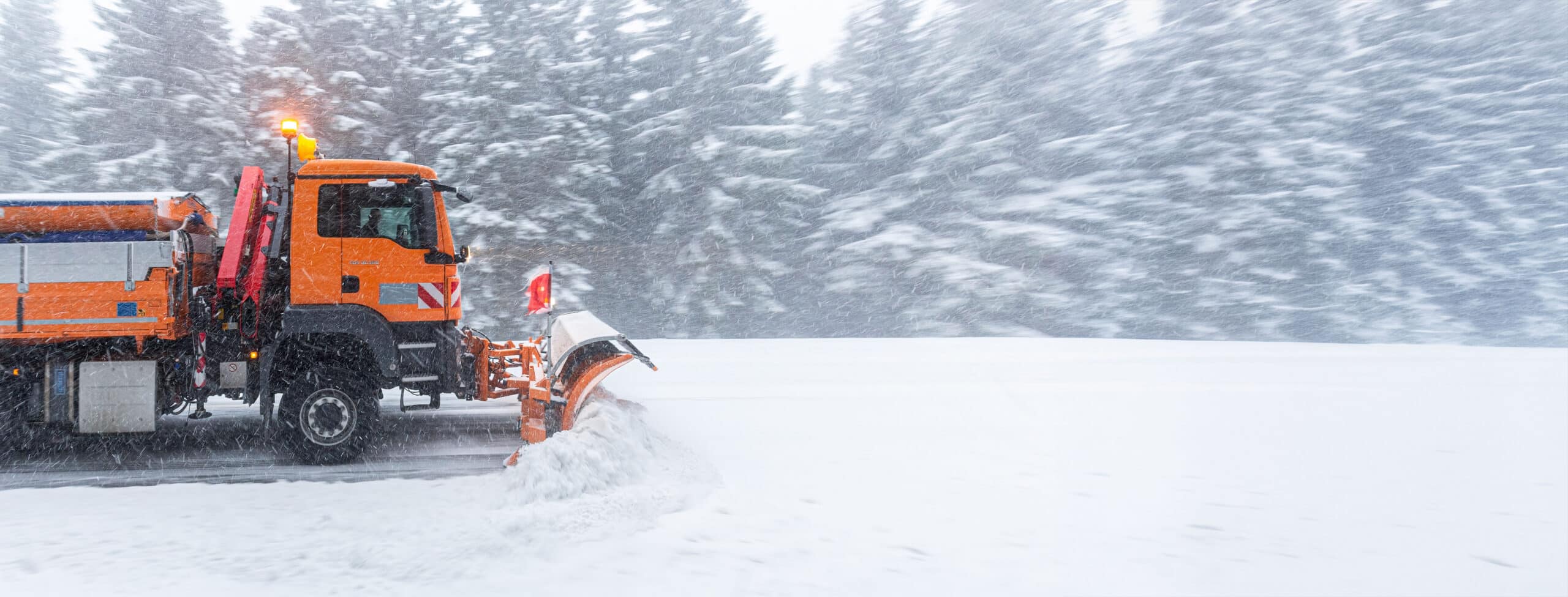
For transportation agencies, winter weather creates a familiar challenge: conditions can change faster than crews can respond.
Snowfall rates fluctuate throughout a storm. Accumulation varies from one location to another. Wind can redistribute snow across exposed roadways, while temperature and traffic conditions add another layer of complexity. For maintenance teams responsible for keeping roads and bridges open and safe, having a clearer picture of what is happening on the ground can support faster, more informed decisions.
Weather stations, pavement sensors, cameras, and forecasts all play important roles in winter maintenance. But direct measurements of snow accumulation can provide another valuable piece of the picture.
Here are five ways better snow measurements can support safer and more efficient winter road operations.
1. Provide a Clearer Picture of What’s Happening During a Storm
Forecasts tell transportation teams what is expected. Field measurements help show what is actually happening.
During a winter storm, snowfall intensity and accumulation can vary considerably even across relatively short distances. Automated snow-depth monitoring can give maintenance teams another source of real-time information about how conditions are developing at specific locations.
That information can complement existing Road Weather Information Systems (RWIS), cameras, and weather observations, helping operators build a more complete picture of conditions across the network.
Rather than relying exclusively on scheduled observations or reports from crews already in the field, agencies can continuously monitor how snow is accumulating throughout an event.
2. Help Prioritize Plowing and Treatment Resources
Winter maintenance is ultimately an exercise in prioritization.
Agencies may be responsible for hundreds or thousands of lane miles, while operating with a limited number of trucks, drivers and materials. Knowing where snow is accumulating most quickly can help provide additional context when determining where resources may be needed.
Accurate snow measurements can help agencies identify differences between monitoring locations, recognize heavier accumulation, and track how conditions change throughout a storm.
The goal isn’t to replace the judgment of experienced winter maintenance professionals. It’s to give them better information to work with.
3. Improve Understanding of Trouble Spots
Anyone responsible for winter roads knows that snow doesn’t behave the same way everywhere.
Elevation, exposure, surrounding terrain, prevailing winds, and local weather patterns can create areas that consistently experience different conditions than nearby roadways. Bridges, open stretches of highway, mountain corridors, and other exposed locations may warrant particularly close monitoring.
Collecting snow-depth data over multiple storms—and eventually multiple seasons—can help agencies better understand how these locations behave.
Over time, that historical information can help identify patterns, evaluate monitoring locations and improve seasonal planning.
4. Add Context Before, During, and After Winter Events
One of the benefits of continuous environmental monitoring is that the information doesn’t disappear when the storm ends.
Tracking snow depth and new snowfall over time creates a record of how an event developed: when accumulation began, how quickly snow accumulated, and how conditions changed throughout the storm.
That information can be useful when reviewing winter operations after an event. Agencies can compare weather observations with treatment activities, plowing schedules, traffic impacts, or other operational data.
The result is a more complete record that can help teams evaluate what worked, identify opportunities for improvement, and prepare for future storms.
5. Reduce the Need for Manual Snow Observations
There will always be situations where boots-on-the-ground observations are valuable. But sending personnel into winter conditions simply to collect measurements isn’t always the safest or most efficient option.
Automated snow monitoring provides a way to collect measurements remotely and consistently, including during active storms.
Technologies such as SNOdar use LiDAR to measure snow depth and new snowfall automatically. The sensor can provide real-time measurements during storm events and communicate with common data-collection systems through interfaces including SDI-12 and RS-232.
For transportation agencies, technologies like these can become another component of a broader winter monitoring network—alongside weather stations, pavement sensors, cameras, and forecasting tools—without requiring someone to manually measure accumulation at every monitoring location.
Better Measurements, Better Decisions
No single measurement can tell a transportation agency everything it needs to know about a winter storm.
Road temperature matters. Air temperature matters. Precipitation type, wind, visibility, pavement conditions, and forecasts all matter.
Snow accumulation is another piece of that puzzle.
By incorporating accurate, continuous snow measurements into existing winter monitoring programs, transportation agencies can gain additional visibility into conditions as they develop, build better historical records and provide maintenance teams with more information when making operational decisions.
Ultimately, better winter monitoring isn’t about collecting more data for the sake of data.
It’s about turning reliable measurements into information crews can use to help keep roads moving and motorists safer when winter weather arrives.
For more information on how the SNOdar can improve winter road safety, please fill out the form to the right, and one of our experts will reach out to you shortly.